Published
Tuesday, May 12 2026
Last Updated
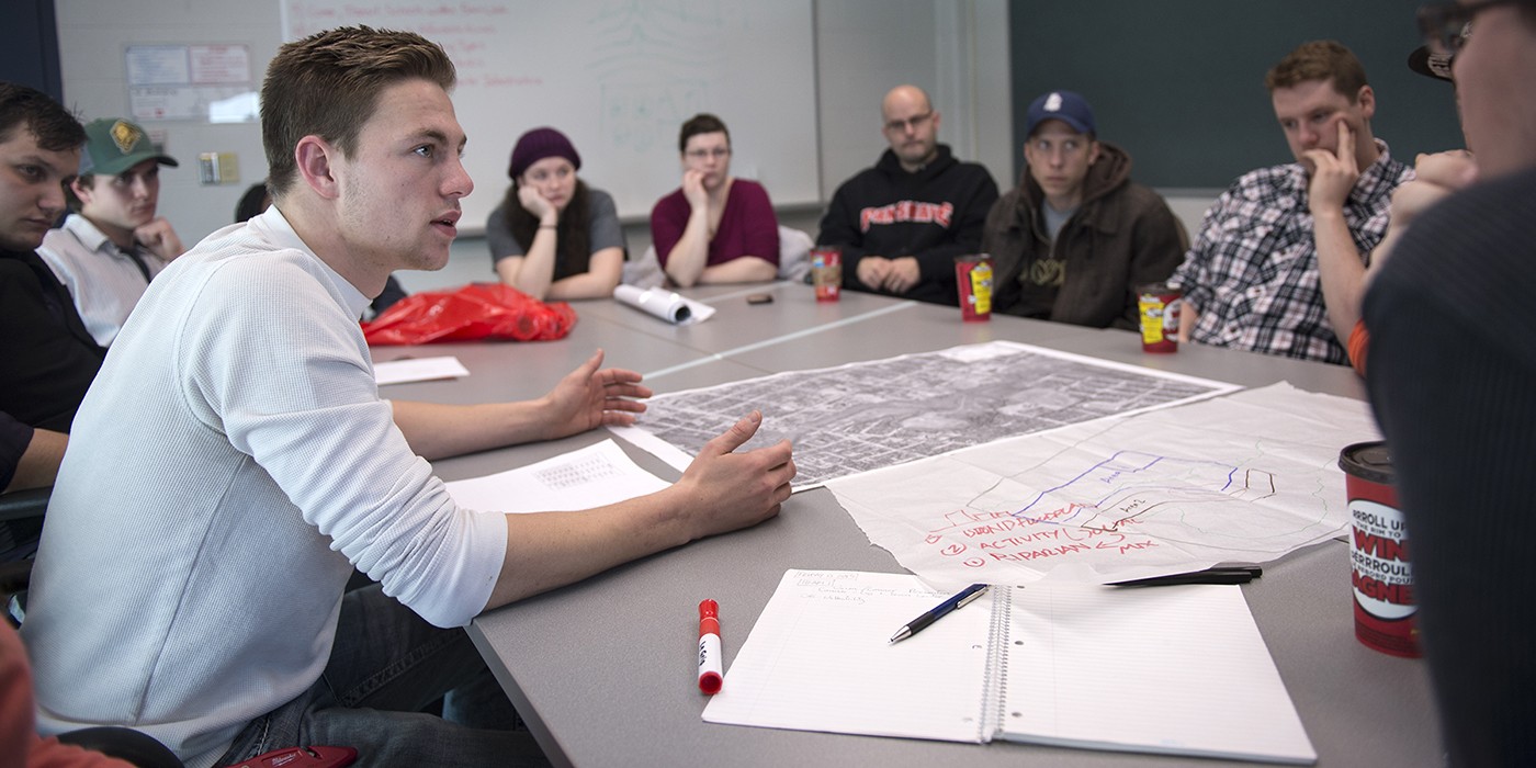
An interview with William Pol, MPA, RPP, MCIP, Honours Bachelor of Environmental Design and Planning
Every year, Canadians see the impact of wildfire and flooding. These events are no longer isolated. They are part of a larger pattern linked to climate change. Behind the decisions that protect communities is a tool that brings complex data together in a clear way: Geographic Information Systems (GIS).
What geographic information systems do
Geographic Information Systems combine data with location, helping planners, emergency responders and governments understand how environmental, infrastructure and population data interact across space. Instead of looking at numbers in isolation, GIS turns information into visual patterns that support faster and more informed decision-making in urban planning and emergency management.
“GIS has a very big role to play,” says William Pol. “It can locate where the fire is and help in the suppression. It can also identify how to prevent the fire from spreading, including where to create fire breaks and where to build a buffer.”
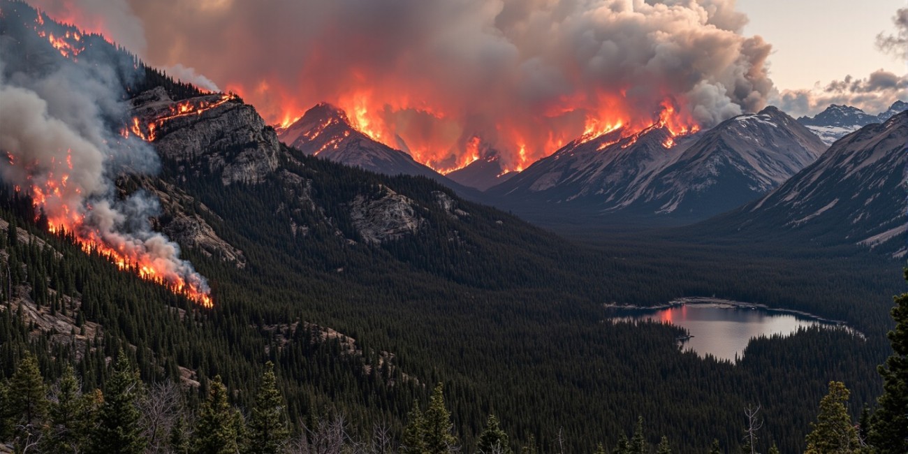
Using GIS to respond to wildfires
When wildfires start, time matters. GIS systems combine: satellite data, weather conditions and terrain information to produce real-time maps of fire behaviour.
“GIS brings together the forest data, the slope, and the prevailing winds, giving you everything you need to know about where the fire might go.”
These insights help emergency teams: predict fire movement, position crews and equipment and plan evacuations.This is especially critical as forest fires in Canada become more frequent and intense.
Image
Preventing future wildfire risk
Geographic Information Systems are not only used during emergencies. After a wildfire, planners use GIS to reduce future risk.
“You can use GIS to decide where to create firebreaks or what buffer distance should exist between forests and settlements,” says Pol. “You’re combining the expertise of forestry people with GIS mapping to see what that looks like on the ground.”
This work includes:
- Mapping vegetation and fuel sources
- Analyzing slope and terrain
- Identifying at-risk communities
- Testing prevention strategies
These insights support long-term land-use planning and safer development.
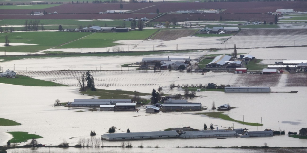
How GIS helps manage floods in Canada
Flooding in Canada presents a different challenge but uses the same core technology. GIS combines: elevation data, river systems. rainfall patterns
and urban infrastructure to map flood risk.
“Municipalities can take that data, overlay it with their zoning and infrastructure, and see exactly which neighbourhoods are vulnerable.”
These maps help guide development decisions, infrastructure planning and emergency preparedness.
Image
Turning data into decisions
GIS is most powerful when it turns data into action. In emergencies, information moves through a continuous cycle of: detection, analysis, visualization, decision-making and review. This process allows decision-makers to respond quickly and refine their approach over time.
Why GIS is a collaborative tool
Geographic Information Systems do not work in isolation. They bring together different fields of expertise.
“Forestry people know about fire risk. Hydrologists know about flood risk. GIS technicians turn their assumptions into maps that decision-makers can use.”
This collaboration ensures that decisions are based on both data and domain knowledge.
Using GIS beyond emergencies
GIS is also used in everyday planning. Cities use Geographic Information Systems to identify safe areas for development, reduce long-term infrastructure costs and plan for population growth.
“We can’t stop climate events, but we can build resilience,” Pol says. “GIS shows us where to adapt and how to protect people.”
Communicating risk through maps
One of the most powerful aspects of GIS is communication. Maps make risk visible.
“When you show someone a map with their house inside a flood zone, they understand instantly,” Pol observes.
This helps individuals make informed decisions and prepare for potential risks.
What this means for the future
Geographic Information Systems are becoming essential in how Canada responds to climate change. From wildfire response to flood planning, GIS connects data, people and decisions. For those entering the field, this means learning how to work with both data and real-world challenges, helping communities prepare for what comes next.
This article was developed by Kaleb Boersma, Honours Bachelor of Commerce - Digital Marketing (Co-op) student. Brought to you in collaboration with Village Creative, an experiential learning opportunity at Fanshawe College.
For any media inquiries, please reach out to mediainquiries@fanshawec.ca
Recent News
-
July 31, 2026
Oxford Street construction impacts, August 2026
Read StoryCampus entrance closures and street closures As part of the City of London’s East London Link rapid... -
July 22, 2026
Journalism students earn national scholarship for podcast excellence
Read StoryCongratulations to Fanshawe College Journalism - Multimedia students Ede Brecevic and Jacob Weirmier... -
July 21, 2026
Oxford Street construction impacts, July and August 2026
Read StoryStreet closures near London Campus As part of the City of London’s East London Link rapid transit...
Recent News
-
May 8, 2025
Construction Delays
Read StoryDue to ongoing construction in the area, there may be delays in reaching our clinic. We kindly ask... -
April 15, 2025
New Spring Schedule
Read StoryWe’re excited to announce that the spring schedule is now available on our website as we transition... -
December 16, 2024
2025 Pricing Adjustment
Read StoryEffective January 1st, our fees will increase to $30 per treatment. We understand that this is a...