Reading Time
5 minutes
Published
Tuesday, May 12, 2026
Last Updated
An interview with William Pol, MPA, RPP, MCIP, Honours Bachelor of Environmental Design and Planning
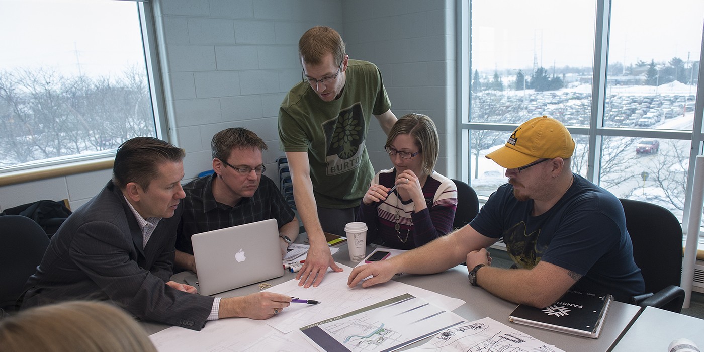
When people ask what is GIS, they are usually thinking about maps, but Geographic Information Systems (GIS) are much more than that. GIS combines data with location to help planners, governments and communities understand how places work and make better decisions about where to build, what to build and how to move people.
What is GIS and how does it work?
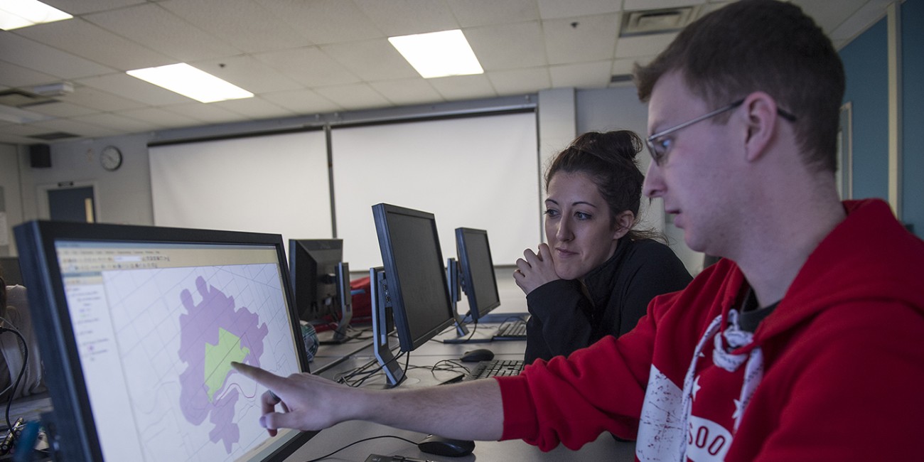
A geographic information system takes large amounts of data and connects it to specific locations. Instead of reading data in spreadsheets, GIS turns it into visual maps that show patterns across space.
“GIS takes large amounts of data, analyses it to help you make decisions, then turns it into visuals the public and council can understand.”
This is what makes GIS so powerful. It turns complex information into something people can actually see and understand.
Why GIS maps matter in urban planning
Urban planning involves thousands of data points: population growth, traffic volumes, housing needs, environmental constraints. On their own, these numbers are difficult to interpret.
“But if you translate that data into visuals, into maps or graphics, people can suddenly see what it means.”
A GIS map allows planners, decision-makers and the public to understand how all of these factors connect.
Image
Where to build: using GIS to guide land use
One of the first questions in planning is simple: Where can we build safely and sustainably?
GIS helps answer this by layering different types of data, including:
- Floodplains and drainage areas
- Topography and slope
- Soil conditions and groundwater
- Environmental features such as wetlands and habitats
- Existing infrastructure like roads and services
GIS is increasingly used to help communities prepare for climate-related challenges such as wildfires and flooding.
“If you think of a municipality… there are parts we want to protect, parts that may be subject to flooding, and then areas that are good to build on.”
This ensures development happens in the right places while protecting sensitive areas.
What to build: planning complete communities
Once land is identified, the next question is: What should go there
GIS helps planners balance:
- Residential development
- Commercial areas
- Industrial uses
- Schools, parks and public spaces
“Locating those land uses in space using GIS helps us figure out what’s the best place to put each one so that the city functions well.”
This helps create communities that are functional, efficient and livable.
How to move: transportation and GIS analysis
Movement is one of the most complex challenges in urban planning.
GIS allows planners to analyze how people travel using:
- Traffic counts
- Transit ridership
- Cycling and walking patterns
- Census and survey data
Transportation planners also rely on GIS mapping to understand traffic flow, transit access and long-term infrastructure needs within growing cities.
“GIS information helps the municipality decide where we should have the bus routes, where we should expand the road network, and whether we should be expanding the bicycle network.”
This supports smarter transportation systems that reduce congestion and improve access.
Turning GIS data into real-world decisions
GIS does not make decisions on its own. It supports collaboration between planners, government and the public.
“Staff use GIS to prepare the information in mapping form… and then council can make those big decisions.”
By visualizing impacts clearly, GIS helps communities understand trade-offs and make informed choices.
Why GIS is essential for Canadian cities
Canadian cities are facing complex challenges:
- Housing shortages
- Climate change
- Infrastructure demand
- Transportation pressures
For example GIS is being used to model commuting patterns and regional growth as major developments reshape Southwestern Ontario communities.
GIS helps address these by:
- Identifying land for housing
- Mapping flood and climate risk
- Supporting transit planning
- Improving long-term infrastructure decisions
“GIS applies across different scales… one site, a neighbourhood, or an entire country.”
Image

GIS as a collaborative tool
GIS brings together multiple areas of expertise: environmental science, engineering, public policy and community planning.
“Forestry people understand the characteristics of forests. GIS people map and analyze them.”
This collaboration ensures decisions are grounded in both data and real-world knowledge.
Careers in GIS and urban planning
GIS skills are in demand across Canada. Graduates may work as: municipal planners, GIS technicians, transportation analysts, environmental planners and
land development consultants. As cities grow, these roles are becoming more important in shaping how communities develop.
Learning GIS in Canada
At Fanshawe College, GIS is taught as part of applied, real-world planning education. Students learn how to: analyze spatial data, create GIS maps, support planning decisions and communicate complex information clearly.
“Our focus… is teaching students to take the data and give it meaning.”
The future of GIS in Canada
GIS is becoming more advanced with new data sources, cloud systems and AI tools, but the core skill remains the same: Understanding how to interpret data and apply it to real-world decisions.
“We can’t avoid AI… but we have to teach students to apply critical thinking.”
This article was developed by Kaleb Boersma, Honours Bachelor of Commerce - Digital Marketing (Co-op) student. Brought to you in collaboration with Village Creative, an experiential learning opportunity at Fanshawe College.
Related Blog Posts
Image

How to Redesign Your Backyard | Step-by-Step Landscape Design Guide
May 13, 2026
Learn how to redesign your backyard with this step-by-step guide. Discover landscape design tips, planning strategies, and expert advice for beginners.
View Blog Post
Image

Future of Pharmacy in Canada | Trends, Scope & Career Opportunities
May 13, 2026
Explore the future of pharmacy in Canada, including expanded roles, prescribing powers, and career opportunities for pharmacy technicians and assistants.
View Blog Post
Image

Community vs Hospital Pharmacy in Canada | Roles, Skills & Career Paths
May 13, 2026
Compare community vs hospital pharmacy in Canada. Learn key differences in roles, work environment, and career paths for pharmacy professionals.
View Blog Post